Meridian Geomate
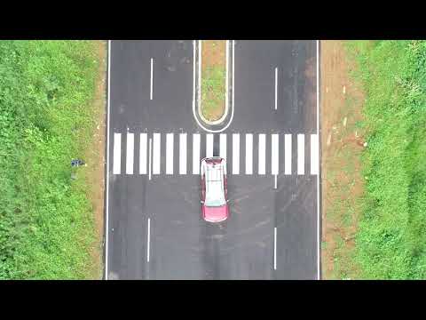
Engineering surveys Creating three-dimensional models of infrastructure objects Inventory and diagnostics of the roads and railways GIS for various purposes Airport runway diagnostics Facades photography Utilities and Services
Website : https://www.meridiangeomatics.com/
Current Status: Steady revenues
Business Model: B2B
Product Description
Bringing new technologies like LiDAR that creates very accurate datasets and helping the decision makers to take quality decisions in the Survey and Mapping Sector, Civil engineering sector, real estate sector, to solve the greater problem of customer satisfaction to a greater degree.
We aim to solve the roughness in services provided by the traditional technologies where the customers may not trust the quality of products and services. Being new and assuring optimum quality, meridian products and services helps the customers to measure the product performance and service level ratings whenever they need, bringing customer satisfaction to the cent percent.
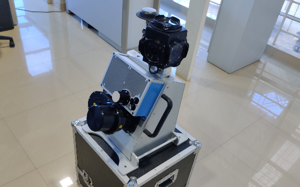
The Z+F9012 Profiler scanning system inside of Geomate with scan rate of up to 1MHz and deflection unit rotation speed of up to 200 rps provides unprecedented high detail and scanning accuracy even at high vehicle speed